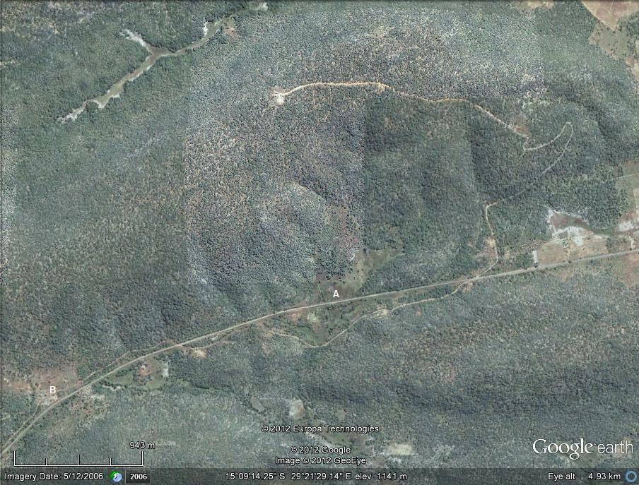
Chakwenga Headwaters and the Nyabutaye Peat Bog: image 1
Image: Previous image | Next image | Back to the location page

| Photographer : | MG Bingham |
| Date: | 5 Dec 2006 |
| Description: | The Chakwenga Headwaters. The Chakwenga arises in the dambo at the bottom left of the photograph (B), and flows eastward before turning south towards its confluence with the Zambezi. A winding track leads to transmitting towers at the crest of the hill. The Nyabutaye (A) is a short tributary of the Chakwenga. |
| Altitude: | 1141 |
| Grid reference: | |
| Latitude and longitude: | -15.153960 29.358090 |