Details of record no: 42118
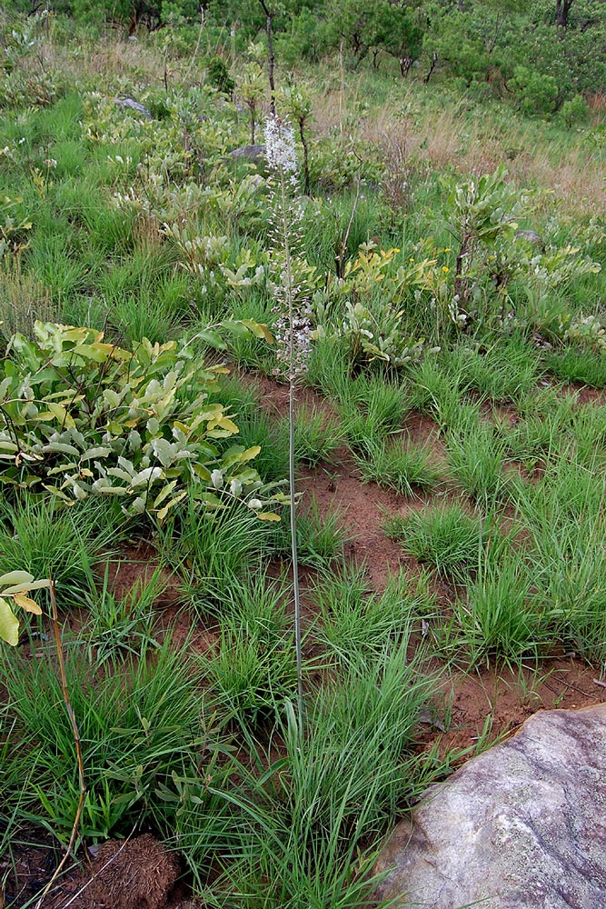
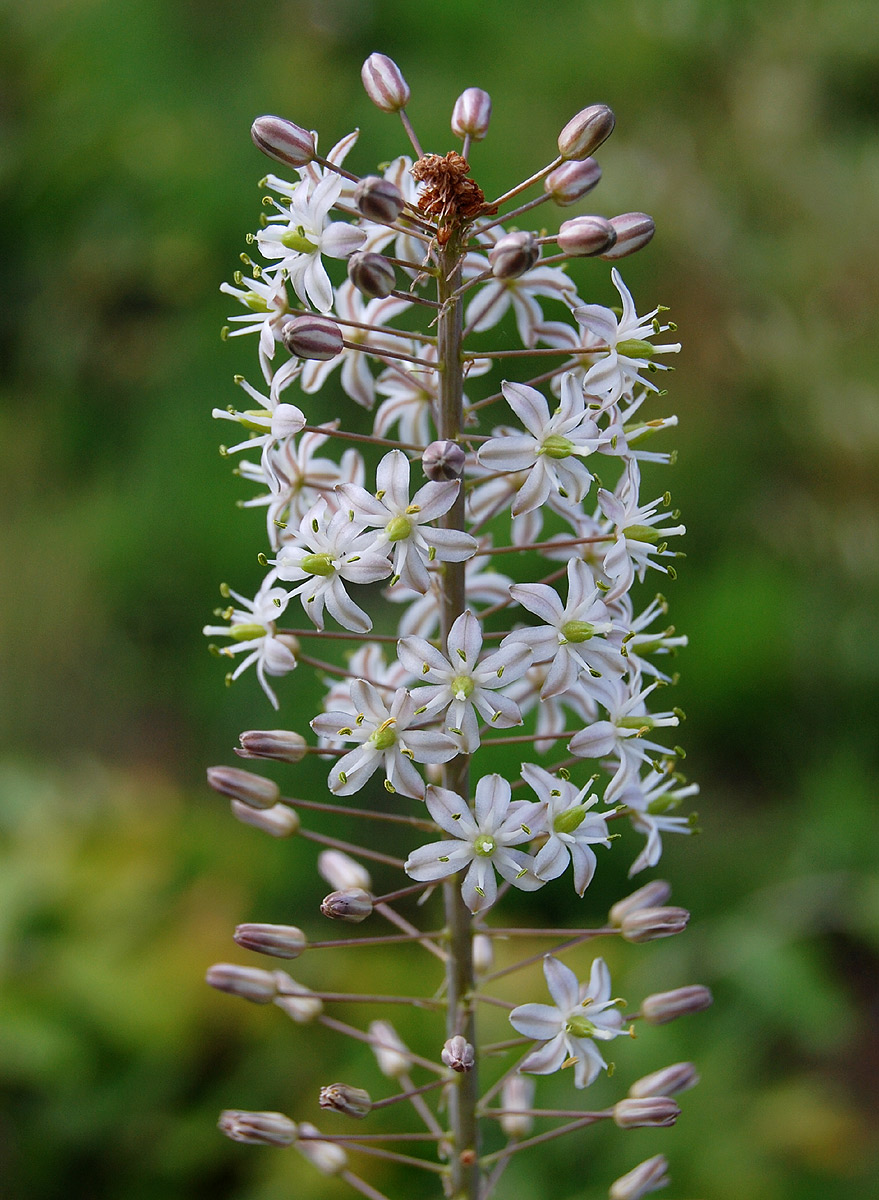
Drimia altissima (L.f.) Ker Gawl.
Three blocks of information are displayed on this page, namely: (a) details of the record; (b) the record point plotted using Google Maps and (c) any images attached to the record. Please scroll down to see the various items.
Record details:
| Date:
| 20 Nov 2007 |
| Recorder(s): | S Dondeyne
|
| Collector(s): | |
| Determiner(s): | S Dondeyne
|
| Confirmer(s): | |
| Herbarium: | |
| Habitat:
|
In rocky grassland |
| Location:
|
Along path from Chikukwa Camp to forest, Lower Chimanimani Mts |
| Location code(s):
|
168 |
| Outing code:
|
|
| Planted code: |
Not planted |
| Country:
|
Mozambique |
| Quarter Degree Square:
|
1932D2 |
| Grid reference:
|
|
| FZ divisions:
|
MS
|
| Altitude (metres):
|
1100 |
| Notes:
|
|
| Latitude, Longitude:
|
-19.718479, 32.974062 |
| Location Accuracy Code:
|
7 |
Map of species record
Images:
Image: 11

| Species id: | 114260 |
| Image id: | 11 |
| Image number: | 13293 |
| Photographer: |
S Dondeyne |
Code 1 if image of a herbarium specimen: | 0 |
| Herbarium in which image taken: | |
| Code 1 if image not to be displayed: | 0 |
| Image notes: | |
Image: 12

| Species id: | 114260 |
| Image id: | 12 |
| Image number: | 13294 |
| Photographer: |
S Dondeyne |
Code 1 if image of a herbarium specimen: | 0 |
| Herbarium in which image taken: | |
| Code 1 if image not to be displayed: | 0 |
| Image notes: | |

