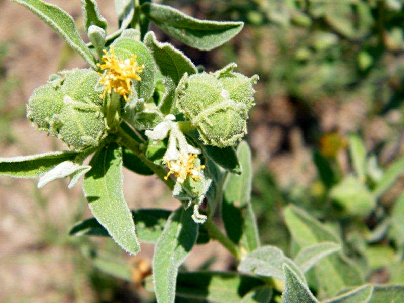
Cephalocroton mollis
Image: Previous image | Next image | Back to the species page

Image details:
| Species id: | 135490 |
| Image id: | 2 |
| Image number: | 16832 |
| Photographer: | P English |
| Code 1 if image of a herbarium specimen: | 0 |
| Herbarium in which image taken: | |
| Code 1 if image not to be displayed: | 0 |
| Image notes: | Between the Chamalaya water point and No 25 water point. |
Record details:
| Record id: | 57738 |
| Date: | 6 Feb 2010 |
| Recorder(s): | P English |
| Collector(s): | |
| Determiner(s): | MA Hyde |
| Confirmer(s): | |
| Herbarium: | |
| Habitat: | On basalt |
| Location: | Along the road in the Chamalaya area of the Bubye Valley Conservancy. |
| Location code(s): | |
| Outing code: | |
| Planted code: | Not planted |
| Country: | Zimbabwe |
| Quarter Degree Square: | 2129D2 |
| Grid reference: | |
| FZ divisions: | S |
| Altitude (metres): | 660 |
| Notes: | Between the Chamalaya water point and No 25 water point. |
| Latitude, Longitude: | -21.566220, 29.889520 |
| Location accuracy code: | 7 |